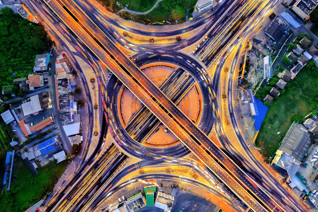
 Image by Freepik
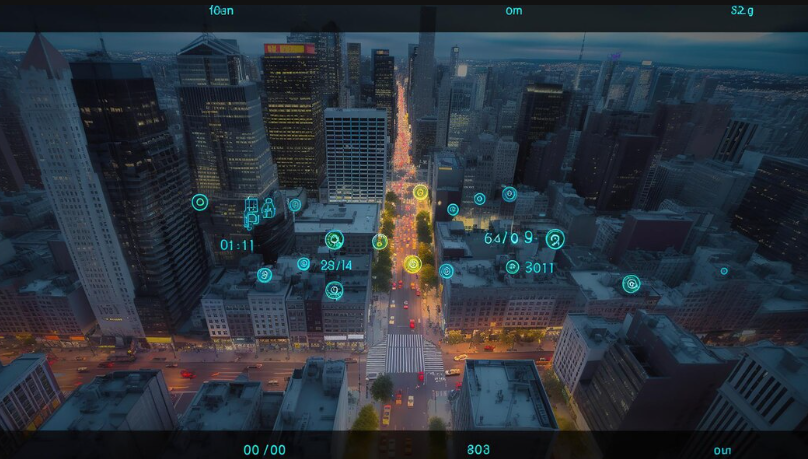
Smart cities deliver significant improvements in the quality of urban life, so an important goal of the infrastructure development for smart cities is to address growing populations, urbanisation and the drawbacks of accelerated industrialisation. Satellites can be a fundamental support for smart city improvement, providing services in most areas of smart city applications, from connectivity to efficiency improvements and sustainability. How can satellites help smart cities become more efficient and sustainable, contributing to making urban environments more intelligent, vibrant and inclusive?
Enhanced connectivity
Satellites provide robust and reliable connectivity essential for smart city infrastructure. Key areas include:
- Broadband internet access: The provision of high-speed internet by satellites benefits urban as well as rural populations, especially in remote or underserved areas where terrestrial broadband infrastructure cannot be extended. This fulfils a communications need, promoting economic and social development of a region through equal accessibility to online services, education and information for all citizens.
- IoT device integration: This ensures that consumers’ IoT devices – whether for smart homes, navigation and traffic, public utilities or transportation – remain connected at all times. Millions of IoT devices, from smart thermostats to connected streetlights, are proliferating in the age of smart cities. Satellites provide the bandwidth and ubiquitous coverage that underpin the data transmission and management of the growing array of IoT devices to ensure smooth operations of smart city applications.
- Emergency communication: Satellites keep all first responders and city officials in communication with one another when terrestrial networks have gone down or when primary communications have been severely damaged. They are an essential lifeline when enabling true all-weather uninterrupted communications is critical for coordinating the next steps of rescue efforts, maintaining the disaster infrastructure, and most importantly, tracking and caring for those rescued.

Environmental monitoring
Satellites offer comprehensive environmental monitoring capabilities, vital for sustainable urban living. They help in:
- Air quality monitoring: Satellites are helping cities control air pollution by tracking how many pollutants there are at any given time. This is something that many cities try to do by using roadside monitors and other local testing equipment. But globally, satellites are now able to do it more easily and more accurately than ever before. They do so by providing a real-time picture of the pollutants that usually contribute most strongly to air pollution, such as nitrogen dioxide, ozone and particulate matter. By using satellites, authorities can spot sources of pollution and take immediate steps to clean up the air.
- Weather forecasting: Accurate weather reports help disaster preparedness and mitigation. Satellites are used to observe the weather conditions, so that meteorologists can forecast severe weather events, such as storms or floods, in a short period of time. This helps cities prepare and minimise the disaster before it hits and save as many people and properties as possible.
- Climate change data: Satellite-based climate records provide data over time that can support urban planning and sustainability efforts. Observations of temperature, sea levels and ice cover from satellites offer valuable perspectives on the impact of climate change. Based on these observations, cities can devise mitigation, resilience and adaptation strategies as they prepare for the effects of climate change.

Traffic management
Effective traffic management is a cornerstone of smart cities. Satellites contribute by:
- Real-time traffic updates: Satellites can help improve traffic speeds and reduce congestion by providing real-time information on traffic hotspots. With this knowledge of where the congestion lies on a road or network, dynamic traffic management systems can devise solutions that adjust traffic lights and recommend alternative routes for drivers. This would make our mobility more efficient and safer.
- Public transportation optimisation: Public transit vehicles are able to be tracked using satellites to identify their precise location, so that they can be scheduled appropriately and passengers are able to spend less time waiting for buses.
- Incident detection: Satellites can detect traffic related incidents immediately, which will help resolve incidents, keeping traffic flowing without delays. Incidents such as traffic accidents, road hazards or other incidents can be detected by satellites, and this helps a traffic management centre to send out rescue service immediately, enable obstacles on the road to be cleared, or restore the traffic flow to normal.
Public safety and security
Satellites enhance public safety and security through various applications:
- Surveillance and monitoring: State agencies supervise urban security through high resolution satellite transmission. High resolution satellite imagery provides necessary information and ensures urban safety, it helps in planning large event security, tracking and tracing suspect behaviour and arson activities, and doing urban area catastrophe planning.
- Disaster response: During disaster situations, satellites contribute imputable data not only for rescuing people’s lives, but for assessing the extent of the disaster, for example, by providing real time imagery and communication, helping to integrate the services more effectively and improve response.
- Infrastructure monitoring: The continuous monitoring of critical infrastructures such as bridges and buildings through satellite technology enables preventative maintenance and avoids failures. Signs of wear and other structural changes can be detected by satellites, and maintenance can be instigated before the occurrence of catastrophic failures. This proactive approach to the maintenance of urban infrastructure increases the safety and longevity of this essential component of the built environment.
Resource management
Efficient resource management is crucial for smart cities. Satellites assist in:
- Water management: Satellites can track water bodies, allowing us to manage our water resources better and reduce the risks of flooding. Satellites help us monitor water levels, the river flow rate and the amount of rainfall we’re experiencing. This in turn helps cities manage the allocation of water supplies, enhance farming efficiencies with irrigation and mitigate the risk of flooding.
- Energy efficiency: They can help save power by monitoring energy grids and supporting renewable energy projects. Satellites supply data on energy patterns of use, and on solar and wind resources, allowing for greater distribution of energy and increasing access to renewable energy sources.
- Waste management: Satellites can improve waste collection routes and monitor landfill sites. For example, by estimating the location and levels of waste containers, satellites can help determine where to collect the trash and the optimum time to do so, thereby reducing the cost of fuel and the operation of the waste management process.

Future prospects
The future of satellite-enabled smart cities looks promising with advancements in technology:
- 5G integration: Combining 5G with satellite networks accelerates data speeds and connectivity to accelerate smart cities’ applications. Thanks to high-capacity and reliable transmission, more variety of advanced IoT applications, like autonomous driving and smart power grids, can be achieved.
- Artificial intelligence: Bringing together the power of AI with satellite data in a unified framework would further deepen predictive analytics and thus, decision-making and support processes for better cities. AI algorithms will translate large volumes of data and interpret it into easily usable metrics and models to identify patterns, predict trends and optimise management strategies at the city level.
- Nanosatellites: The use of smaller, cheaper nanosatellites will generate more accurate and frequent data streams for urban governance – satellites with similar resolving power can be launched in much larger numbers, providing higher temporal and spatial resolution to track a greater variety of features of urban living, from traffic to environmental conditions.
Satellite technologies are critical to the development of smart cities, bringing forward solutions to enhance connectivity, environment monitoring, traffic management, public safety and other applications for the efficient management of natural resources and critical utilities. In the not so distant future, the role of satellites in defining more intelligent, living and responsive urban environments will only expand with an advancing technological scenario. The increased deployment of satellite solutions around the world will mark the future of smarter, greener and sustainable cities.

Article by Magda Dąbrowska, a technical writer at WeKnow Media
Comment on this article via X: @IoTNow_
<!–
–> <!–
–> <!– –>
- SEO Powered Content & PR Distribution. Get Amplified Today.
- PlatoData.Network Vertical Generative Ai. Empower Yourself. Access Here.
- PlatoAiStream. Web3 Intelligence. Knowledge Amplified. Access Here.
- PlatoESG. Carbon, CleanTech, Energy, Environment, Solar, Waste Management. Access Here.
- PlatoHealth. Biotech and Clinical Trials Intelligence. Access Here.
- Source: https://www.iot-now.com/2024/06/04/144699-satellites-new-role-in-smart-city-infrastructure/

